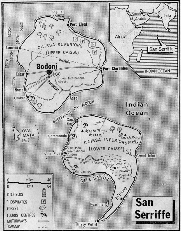
The semicolonial island of San Seriffe
I’ve always loved maps. Call me crazy.
Growing up, I would spend hours leafing though old National Geographic magazines and studying the tightly folded maps that would fall out. It’s not like I’m ever gonna win the Geography Bee but there’s just something about a good map. (and apparently I’m not the only one)
So when I ran across the very cool Strange Maps site, I couldn’t be happier. The site shares links and photos of both old and new maps that don’t fit your standard idea of what a map should look like.
One of the latest postings references a 1977 Guardian (UK) newspaper article describing the small island country of San Seriffe.
The country consists of two main islands, Caissa Superiore (Upper Caisse) and Caissa Inferiore (Lower Caisse), the latter of which has a prominent promontory, ending at Thirty Point. The islands are separated by the Shoals of Adze. The capital city, located on Upper Caisse, is the city of Bodoni. Other cities are Port Clarendon, Garamondo and Cap Em. The nearby island of Ova Mata is a Spanish possession.
Just way too much fun!


