Yes . . . your class does need a 12 x 8 foot map. (And online interactives)

Right after my two dream jobs of working at the Library of Congress and the Smithsonian Museum of American History, I’m planning to pop over to National Geographic for a few years. We’ve been connected at the hip since I was in 5th grade and first discovered their amazing graphics and maps.
So I’m sure they’d love to hire me to help out a bit around the office.
Until then, I’ll just be happy playing with some of their very cool toys. This includes, of course, their powerful MapMaker Interactive digital tool.
But it also includes their MapMaker Kits:
“MapMaker Kits offer K-12 students the opportunity to work with key mapping concepts at a variety of scales and to see the world in new ways. Unique large-scale maps allow students to immerse themselves in the exploration of dynamic environmental and cultural aspects of the world. Kits engage students in the manipulation and analysis of a variety of geographic information sets, helping them build skills in critical thinking, the representation of data, and mental mapping. Each kit enables the user to download, print, and assemble maps of the world, individual continents, and the United States in a variety of sizes.”
And when they say a variety of sizes, they mean anything from a single sheet, to a larger tabletop size, to mega maps that take up a whole wall. Seriously. How cool is that?
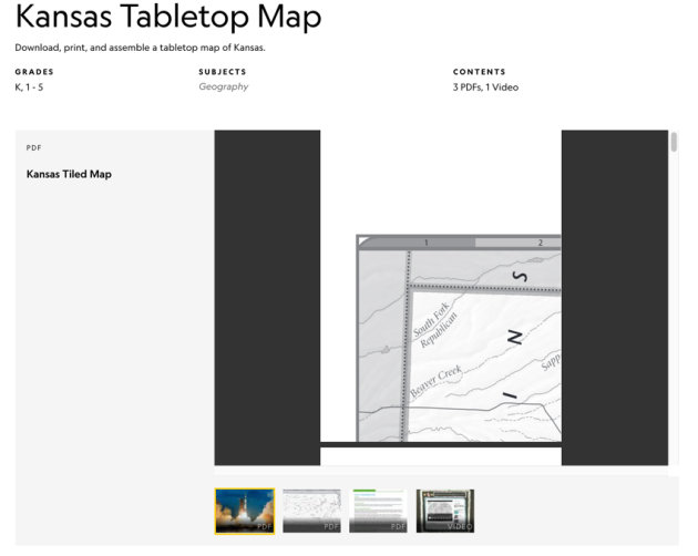
You can find state maps, maps of continents, hemispheres, geographic regions – all perfect for introducing and reinforcing geography and maps skills. The one page versions are perfect for having individual kids customize – both digitally or with colored pencils – specific regions and places. Give a group of elementary kids the tabletop version and ask them to piece it together correctly as an introductory hook activity.
The mega maps? With up to 136 printed pages, you could have different groups piece together different parts of the world and then combine their work for the full size version.
The Kits go beyond just basic maps to include activities such as Guess The Place. Using questions and maps, students work to identify the name of a city, state, country, or major physical feature in a continent of your choosing, or the United States. There are activities that ask kids to connect rivers and other bodies of water to population areas. Activities that help kids see relationships between language and place, population density, energy use, UNESCO world heritage sites, weather, and both human and animal migration.
You’re able to filter the many different Kits by keyword, type of activity, and content area.


You can go directly to the MapMaker Kits page but be sure to make a stop at the Nat Geo Mapping Resources page to find the MapMaker Interactive and other handy tools.
If you’re planning on the mega maps, and why wouldn’t you, this mega map printing tutorial will come in handy.
. . . . . . . . . . . . . . . .

Glenn is a curriculum and tech integration specialist, speaker, and blogger with a passion for technology and social studies. He delivers engaging professional learning across the country with a focus on consulting, presentations, and keynotes. Find out more about Glenn and how you might learn together by going to his Speaking and Consulting page.


I have developed several lessons for our elementary students in my district that use these maps. It is SO important that we get them into the hands of our young students so they can experience maps on a tactile level with some real sense of scale. 8 year old crawling around on a map figuring out how traveling across different physical features between two points is an experience all kids should have. I have a few card-based games I’ve developed with MapMaker’s large U.S. maps that help 5th-6th grade kids work with political and physical features as well as scale and distance. If anyone is interested, please message me and I’ll be happy to share.
Matthew,
Thanks for being willing to share your ideas and resources – we all get smarter when we work together! I would love to see those if you’re willing to send them my way. (glennw@essdack.org or DM me at @glennw98)
I agree . . . I love digital tools but tactile experiences with small and large maps can be super powerful. I had the chance a few years ago to sit in on a class that was using one of Nat Geo’s floor maps. Kids were loving it!
glennw